It would be nice to have a physical map to check, which contains all the detail you’d expect. The current setup makes no sense.
Not a very helpful comment, what detail would you expect that isn’t present?
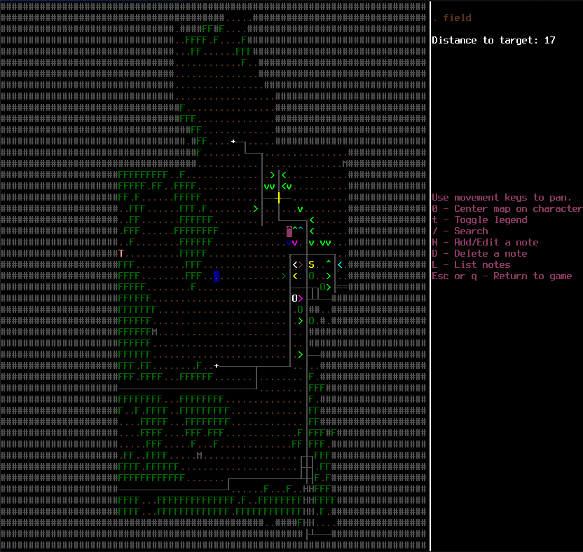
The fog of war is a foolish idea. There’s no reason roads should disappear off into a grey sludge, like this.
Most maps cover a larger area then one town, and can still achieve reasonable detail for them. In a evac shelter of all places you’d expect a fairly decent map of the county.
Road maps already exist as an item in game, they fill in the roads (and certain special buildings) on the map screen. Other map types also exist.
Good, i think you should start with one. Otherwise you’re saying the player has a very selective memory.
You’re still being uselessly vague, what exctly does, “can still achieve reasonable detail for them” mean?
Also, what does a, “fairly decent map of the county.” have on it?
If we had a good system for what the suvivor knows about the surroundings at game start, we’d use it, but we don’t have one.
A map of the county is much more believable then a map of one small town. “Reasonable detail” means that that map could cover a much wider area while still noting where say, hospitals are without stretching credibility. Every small town gunshop? Now maybe that’s pushing it, but that’s what street maps are for.
Good point. However, i think we should start with whats plausible for the default evac center start.
Still pointlessly vague, even though you added one detail, hospitals. So it lists hospitals, soes it list the roads connecting hospitals too? Which ones?
Street maps don’t have that either, nothing pre-internet even tried to list every business except for phonebooks,
This problem is far more complicated than you’re making it out to be, which is why it doesn’t have a solution yet, if you don’t have a solution, you’re not helping.
That’s why i’m trying to collaboratively hash out a solution. What’s the problem?
When i mentioned hospitals, i’m just trying to say that maps usually list major landmarks and infrastructure. I was wrong about the gunshops, but in Britain you can expect to see post offices and pubs on a ordinance survey map.
I’m not sure if the yellow pages are in the game, but that could help you pinpoint business addresses.
The problem is you’re making statements like, “The current setup makes no sense.” and “The fog of war is a foolish idea.”, with no alternative to present and evidently no understanding of the problem.
Just the bare idea, “how about we apply real life maps to the game” is so blindingly obvious that it’s not worth mentioning. The difficult part, and it’s actually quite difficult, is coming up with a meaningfull system where maps reveal the right level of detail. If you have any ideas for how to do that, great, let us have em. Otherwise you’re not helping.
Do you mean the coding difficulties? Balancing? We obviously have communication difficulties :P.
The suggestion forum isn’t for pissing out ideas. It’s for putting them forth, examining why they do and don’t work and going from there. I’d say it’s working as intended.
If I understand correctly, the suggestion is that a map should reveal the whole region generated when you spawn, like “reveal map”?
More or less. You wouldn’t expect the same level of detail about the shops in town, which you shouldn’t really have at the start of the game either unless it’s justified by your starting scenario.
It should be a physical item in your inventory, which seems to have already been done with road maps. It’s just a case of making it default or at least a option. Having said that, as starting scenarios expand beyond the evac center (where you might be lost), having a array of lootable maps focusing on different areas (city maps, tour guides, nature trails) would be interesting.
Come to think of it, now that z-levels are being added, elevation could be a useful addition to the map. Inb4 kevin tells me i have no clue.
Let’s try this again, just in case. What exactly do you expect it to reveal?
Even with z-levels there is no terrain elevation, just multi-floor buildings.
You dig?
The whole region, in exactly the level of detail you would expect to find on a New Hampshire map. No more, no less. Shops would remain greyed out until they’ve been visited or triangulated in the yellow pages.
Again, what’s the difficulty?
Figuring out what should the maps show to be “realistic”.
So far it looks like you’re trying to make the map look more real-like rather than making them show something objective, measurable and real.
Look at the ideas in the thread: they all are a variant of “I guess maps would look more realistic if they showed x”. Not one of them is an implementable idea such as “Add a map display that colors each map tile according to density of vegetation in the tile, with vegetation levels being based on tile type (road/river, field, forest/swamp, thick forest)”.
[ul][li]Start with a road map in your inventory, which if destroyed disables your map[/li]
[li]Reveal the entire region, excluding shops.[/li][/ul]
On reflection, the second idea is somewhat flawed. Your average road map wouldn’t include the pedestrian areas in cities, so any lane which isn’t big enough for vehicles should be greyed out.
As for your other point;
Would a road map actually provide this kind of information? I’m looking at this strictly from a simulationist point of view, which is why i’m disregarding quality of life stuff.
There are several different types of maps already in the game, from survivor maps that list grocery stores and gun shops to tourist maps that have museums and restaurants.
It’s a couple of minutes work to add items to the starting profession.
So I guess my question for ribblle is would starting with a tourist map in your inventory as the default survivor be a sufficient solution for you? Or having one spawn in every evacuation center which is more complicated but not impossible.
The basic problem is that people have a very hard-to-model knowledge of their community.
A delivery driver (pizza, or whatever) would likely have a VERY thorough knowledge of the area, basically, the whole thing mapped out, just in their head.
The prepper would likely have something similar, but on paper.
The average joe would likely know where a certain number of shops are (the places they shop - how do we model that?!?), the immediate street layout and buildings (even smaller than the current default starting area), and the “major” streets for a good ways beyond that (what makes a street “major” in this game? nothing obvious…), along with a few random freebies that they just happen to remember (had a friend who worked there, had a funny story there one time, etc).
Many would know where the nearest hospital or walk-in clinic would be. Almost everyone would know of at least one grocery store (not necessarily the nearest).
How about non-city area? Well, for most people these days, if they aren’t a farmer, rancher, or hunter, well… uh. This is a foresty type area?
The things one would care about in a zombie apocalypse are, for most people, a very different set of things than what they care about in day-to-day life. How to model that is difficult and open to LOTS of interpretation. The current setup works well enough for most types of start, I think - certain professions should probably start with a larger and fuller map and/or one (or more) of the map items (probably used on the starting location, actually, whether they have the item in inventory or not), but for the rest, something that averages out about like it does is decent.
Unless you have a more specific suggestion than “make it better”? “Reveal the map” is available through the debug menu - feel free to use it!
(I do think that the phone book should randomly reveal 1-3 building-type tiles (not parks, parking lots, fields, forests, etc) within a certain distance that are adjacent to a road you have already revealed - that would give a reason to actually READ the silly things.)
Very well put, thank you.